

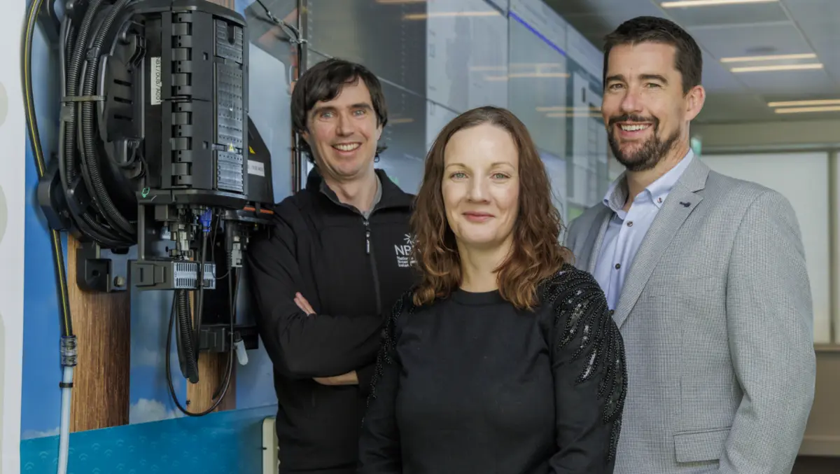

National Broadband Ireland has won a Special Achievement in GIS Award from Esri, recognising its use of mapping technology in the rollout of the National Broadband Plan.
According to Esri Ireland, NBI was selected ahead of hundreds of thousands of organisations worldwide and received the award at the 2026 Esri User Conference in San Diego.
The recognition centres on a digital twin developed by Esri Ireland for the broadband operator. Known as the NBI Build Map, it gives NBI a shared view of existing and newly installed infrastructure across the country.
The system brings together information from all 227 deployment areas in the State-backed rural broadband programme. It shows the location and status of network assets and is used by specialist teams, contractors and about 1,200 field workers.
The platform has helped coordinate surveys, route checks and completed works during the fibre build. Field teams can upload photographs and report issues such as land access constraints, while project managers can monitor progress and identify problems as they arise.
The technology is also used beyond construction teams. Commercial and health and safety staff use the same information to review installations before invoices are approved and to check whether work has been completed safely.
Project scale
The National Broadband Plan is the largest telecommunications project undertaken by the Irish State. NBI's seven-year programme is intended to bring broadband infrastructure to 1.1 million people in rural communities.
By the end of October 2026, NBI had passed 543,000 premises. That was above the 537,000 premises in the intervention areas when it signed its contract with the State.
The mapping system has reduced reliance on manual reporting and meetings by giving senior leaders and government stakeholders access to updates through the same platform. It has also been integrated with NBI's ticketing system to support fault management once parts of the network are in service.
Under this process, fault reports are sent automatically through the platform, allowing mobile engineers to receive details, record repairs and close tickets from the field. NBI said this saves around 45 minutes per ticket, particularly helping teams deal with faults after major storms.
The digital record is intended to remain in use as the network expands and moves into long-term operations and maintenance. By keeping infrastructure data in one system, NBI can use the same workflows established during the build phase as additional premises are added.
Mairead Meyer, Chief Operations Officer at NBI, said: "Rural Ireland now has access to a reliable broadband network, enabling equal opportunities for everyone, no matter where they live, work or study. Delivering a project of this scale on time and under budget is unprecedented. It's fantastic to have that achievement recognised with this global award. It highlights the innovative work and collaboration between the NBI and Esri Ireland teams."
Brian O'Malley, Data Specialist Team Manager at NBI, added: "Esri Ireland's technology has enabled us to deliver one of the biggest and most ambitious telecoms infrastructure projects of its kind globally. Having ArcGIS at the core of our operations has streamlined workflows across the organisation, resulting in a significant reduction in the time and effort required to deliver the National Broadband Plan."
Esri gives the award to organisations it says demonstrate notable use of geographic information systems. In NBI's case, the judges highlighted how the system was used to manage a national fibre rollout across rural areas.
Padraig Quinn, Senior Account Manager at Esri Ireland, said: "The broadband rollout is a testament to what can be done when technical expertise meets delivery. This hugely important project has been expertly executed by the NBI team and we are very proud to have been able to support them with our technology. The Special Achievement in GIS Award, presented at this year's Esri User Conference, recognises a well-executed project led by a team of truly gifted professionals. The NBI team have helped Ireland make tremendous strides in connecting people across the country, no matter how remote their location."